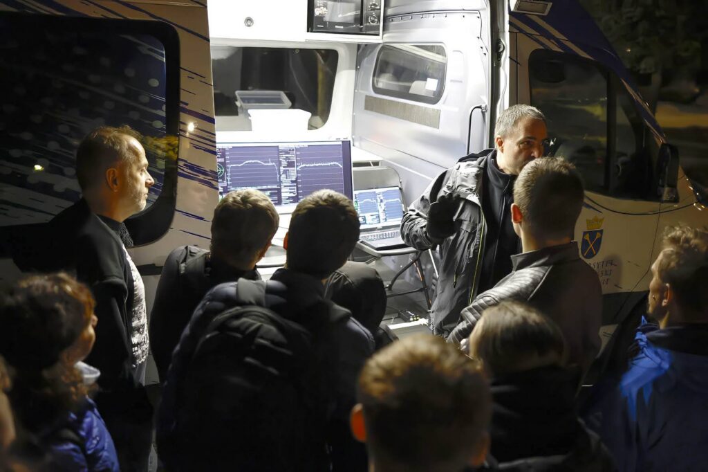
On 25 September 2026, HYADES took part in the Małopolska Researchers’ Night. Tomasz Kawalec led workshops on the direct reception of data from the MetOp-B, MetOp-C and Meteor-M N2-3 weather satellites. These satellites orbit the Earth in low Earth orbit (LEO), at an altitude of about 810–820 km.
A great variety of data can be received directly from these satellites, including signals transmitted in the L-band, at frequencies around 1700 MHz. The satellites carry many scientific instruments that observe the Earth and its atmosphere across a very wide range of wavelengths, from visible light to microwave radiation.
 Krzysztof Magda
By analysing these measurements, scientists can learn about surface temperature, cloud cover, snow and ice, as well as the vertical distribution of temperature and humidity in the atmosphere. The data also provide information about atmospheric gases such as water vapour, ozone, carbon monoxide and methane.
 Krzysztof Magda
The satellites also carry radar instruments. These can be used, for example, to determine the speed and direction of winds over the oceans, regardless of cloud cover, and to estimate soil moisture over land.
The satellites therefore provide not only images of the Earth, but also detailed information about weather, the atmosphere and the condition of the Earth’s surface.
Our HYADES satellite will also operate in low Earth orbit and transmit its data to us by radio. However, instead of observing the Earth, HYADES will image comets, asteroids, and objects originating from outside our Solar System.
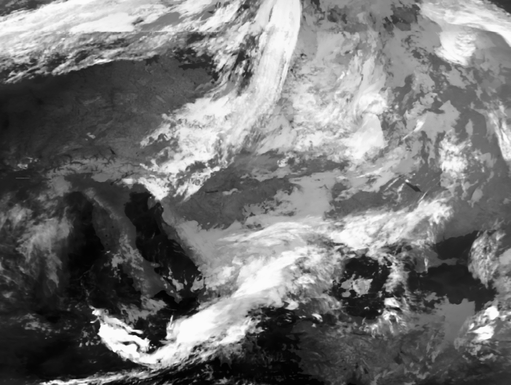 Thermal infrared image at a wavelength of about 12 µm. In cloud-free areas, this channel provides information about the Earth’s surface. Where thick clouds are present, it mainly shows the temperature of the cloud tops.
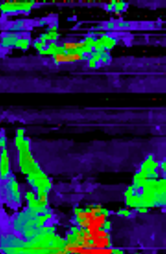 MHS — Microwave Humidity Sounder, a passive microwave instrument. This image shows measurements at 89 GHz. This channel is sensitive mainly to the Earth’s surface, low clouds and precipitation.
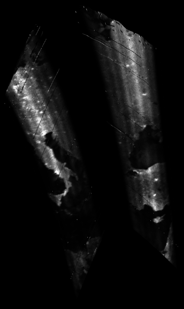 ASCAT — Advanced Scatterometer, a radar instrument operating at about 5.3 GHz. The radar observes two wide strips of the Earth’s surface, one on each side of the satellite’s path, each about 550 km wide. Its measurements are used mainly to determine wind speed and direction over the oceans, and can also provide information about soil moisture over land.